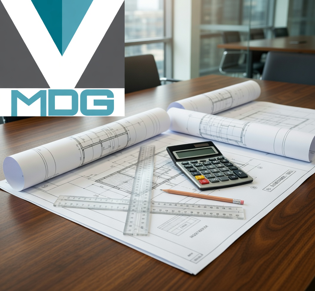
I’m proud to announce that I’ve earned my FAA Part 107 Remote Pilot Certificate! At MDG, we decided to build upon our already deep aviation experience. It started with my pilot license in 2002, continued through years of airport engineering, and finally culminated in earning my private pilot license in 2025—a long journey with fits and starts, similar to many other pilots’ experiences.
This journey demonstrates our unique qualifications in aviation and our intimate understanding of how design decisions affect real-world operations. Earning the remote pilot certificate is the latest step in that momentum. This credential now lets me legally and safely operate drones for commercial purposes, and it’s already transforming how we serve clients across Minnesota.
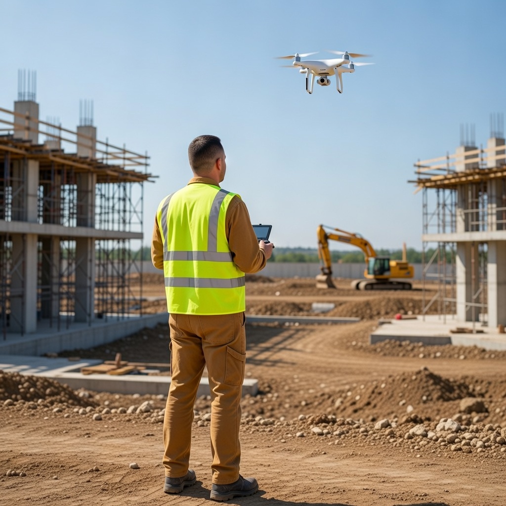
My primary use remains forensic investigations, where hard-to-reach or hazardous scenes demand precision without disruption. Equipped with high-resolution cameras and thermal (IR) sensors, I can capture overhead views of crash sites, document building facades, and map large accident areas in minutes — all while preserving the integrity of the evidence. As noted by Robson Forensic experts, UAVs provide “overhead views of crash sites” and deliver forensically sound 3D models and measurements that traditional methods can’t match safely or efficiently (Robson Forensic, “Drone Technology for Forensic Investigations,” May 2024).
The same capabilities deliver immediate value to our engineering clients. Instead of costly scaffolding, lane closures, or snooper trucks, we can now perform detailed visual and thermal inspections of bridges, roofs, utilities, and industrial structures. Minnesota Department of Transportation’s own research proves the advantage: their UAS Bridge Inspection Demonstration Project showed drones accessing undersides of decks, bearings, and confined spaces while achieving up to 66% cost savings — all while keeping inspectors out of harm’s way (MnDOT/Collins Engineers, Phase II Final Report, June 2017).
A 2018 MnDOT trend paper further underscores the broader industry shift: “Drones today continue to play a large role in taking humans out of high-risk environments. Specifically in the use for construction inspection, where infrastructure like bridges, wind turbines, oil, gas, and electric utility lines can be safely inspected using drone technology.”
Construction remains the fastest-growing sector for drone adoption, and thermal imaging adds another powerful layer — detecting hidden moisture intrusion, electrical hot spots, insulation failures, and concrete delamination that the naked eye (or even ground-based IR) would miss (MnDOT, Unmanned Aircraft Systems Trend Paper, 2018). For clients and fellow companies across Minnesota, Wisconsin, and the Upper Midwest, this means safer job sites, faster turnaround, lower insurance exposure, and richer data for reports, claims, or litigation. Whether you’re an attorney needing crash-scene documentation, a municipality planning bridge maintenance, an insurer assessing storm damage, or an industrial facility hunting electrical faults, certified drone services cut risk and cost dramatically.
I’m now fully equipped and insured to bring these tools to your next project. If your work involves difficult access, thermal diagnostics, or forensic-level documentation, let’s talk about how drone intelligence can elevate your outcomes. Ready to see the view from above? Reach out today — MDG would love to show you what’s possible.